Case selection
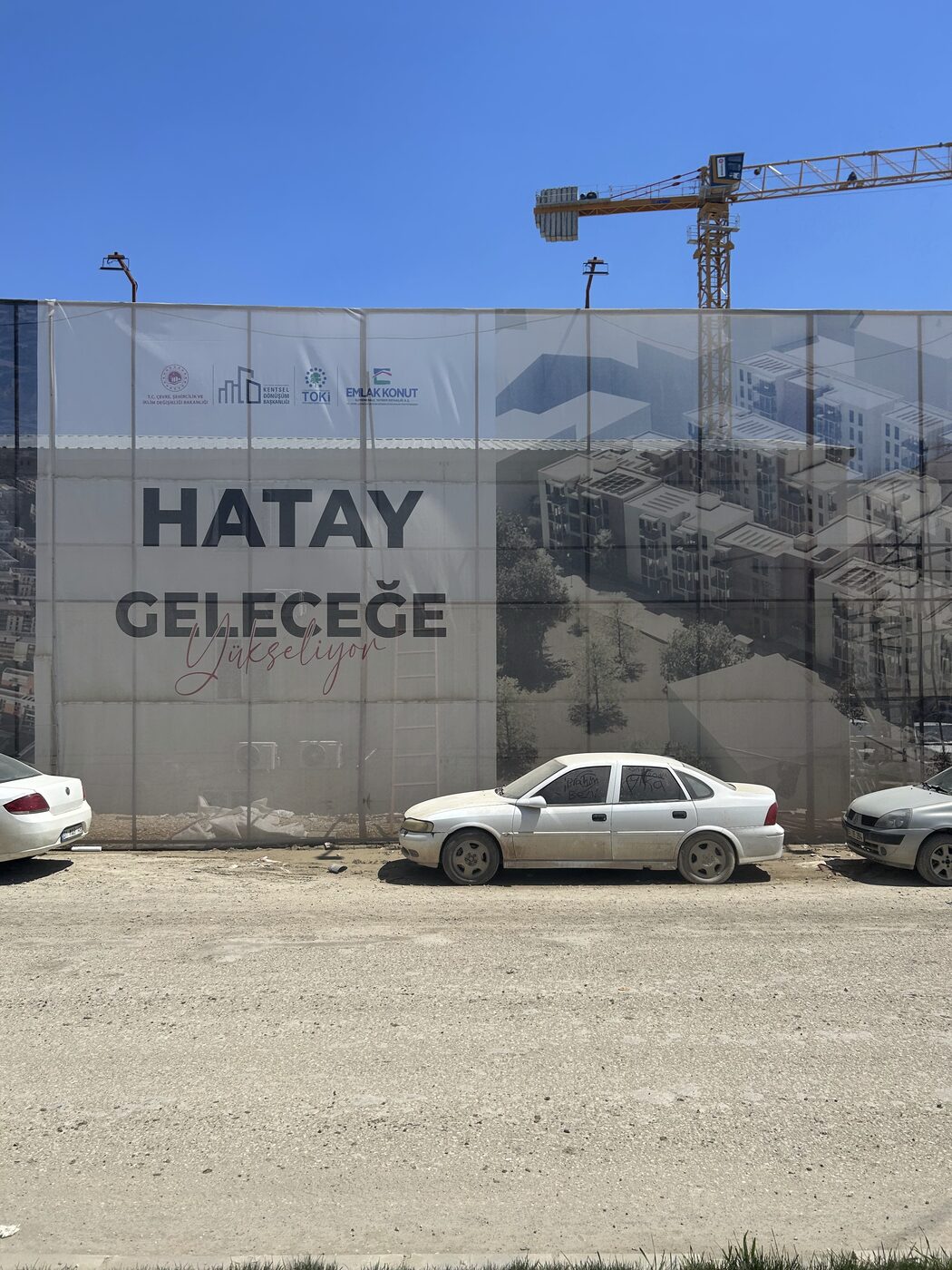
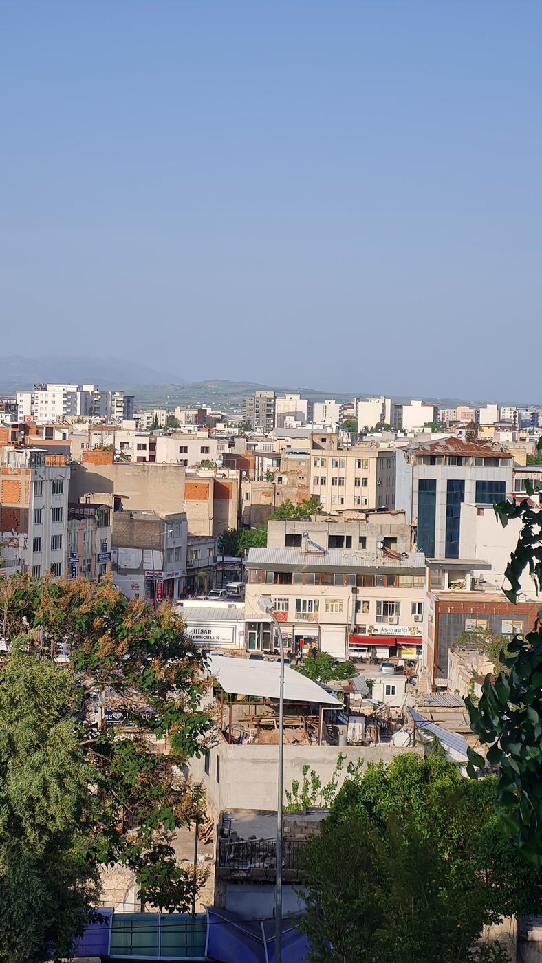
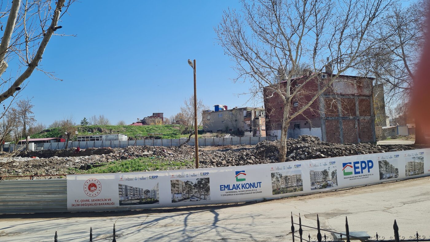
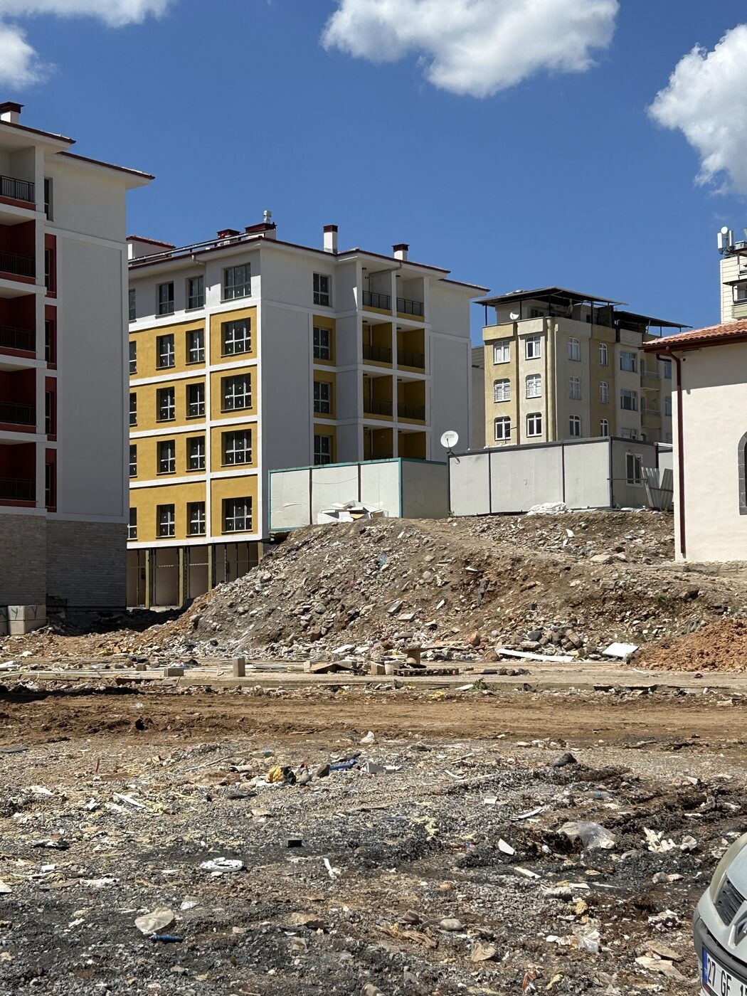
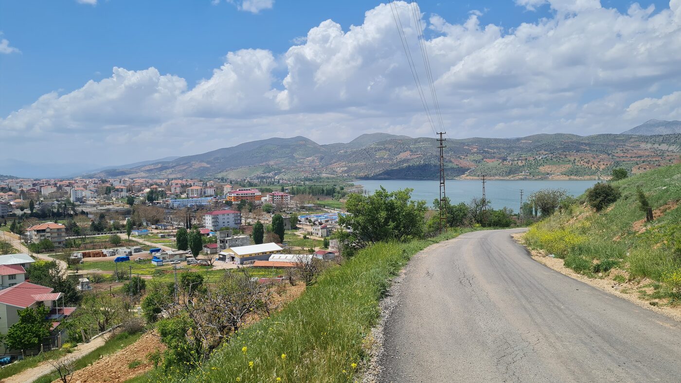
The earthquakes of 6 February 2023 caused serious destruction in multiple settlements along the fault line, a unique opportunity to examine the relationship between that destruction and urbanization policies. The study comparatively examines 5 of the 14 settlements severely affected by the earthquake: the central districts of Hatay (Antakya and Defne), Kahramanmaraş (Dulkadiroğlu and Onikişubat) and Malatya (Battalgazi and Yeşilyurt), together with Adıyaman, Kilis, Osmaniye, İskenderun, Samandağ, Elbistan, Pazarcık, İslâhiye, Nurdağı, Doğanşehir and Gölbaşı.
These settlements range in population from 680,000 to 40,000 and differ in administrative status and history, especially regarding the relevant building-inspection system. They include metropolitan centers, non-metropolitan urban province centers, counties of metropolitan municipalities, and counties of non-metropolitan provinces with sizable urban settlements. Selection is based on the availability of data; the five will include one metropolitan center, one provincial center, one metropolitan county center, and two smaller towns.
Method
The research design is primarily a mixed-methods approach that expands on the explanatory and sequential characteristics of data-collection methods, giving prevalence to triangulating quantitative findings in light of qualitative findings.
In the quantitative phase, a spatial database based on past and current planning efforts is collected and rasterized as GIS base maps; building patterns at certain intervals are identified from satellite images and maps; the buildings that collapsed during the earthquake and their attributes are mapped; and the inventory of buildings covered by building amnesties is mapped using GIS. In the qualitative phase, supporting data is collected through in-depth interviews with a limited number of experts, and a historical urban-development trajectory is drawn for each settlement. Finally, the patterns of destruction are analysed and the urban policies that increase vulnerability are identified.